
Route Info
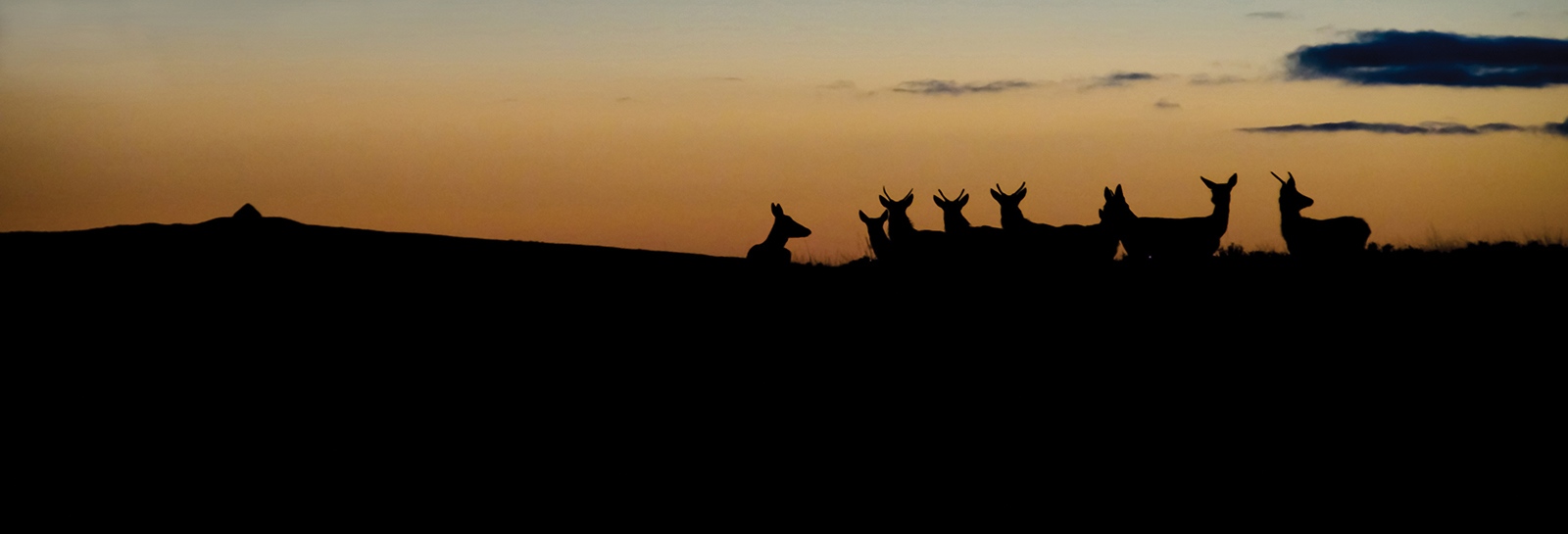
The route starts from the car park next to the bridge at the bottom of Dunkery Hill and takes you on a triangular route up to the summit of Exmoor’s highest point with its stunning views in all directions and the chance to spot wildlife including our famous red deer. Purchase a water and tear resistant route guide online or from an Exmoor National Park Centre.
Distance - 3.9 km (about 2.5 miles). Time - about an hour and 10 mins
Accessibility info
Watch the Video
Each Explorer Route has its own video full of info and what you might expect to experience on the walk.
Link to route on Ordnance Survey mapping
You can use the app for free but advanced features are available to subscribers.
Accessibility information
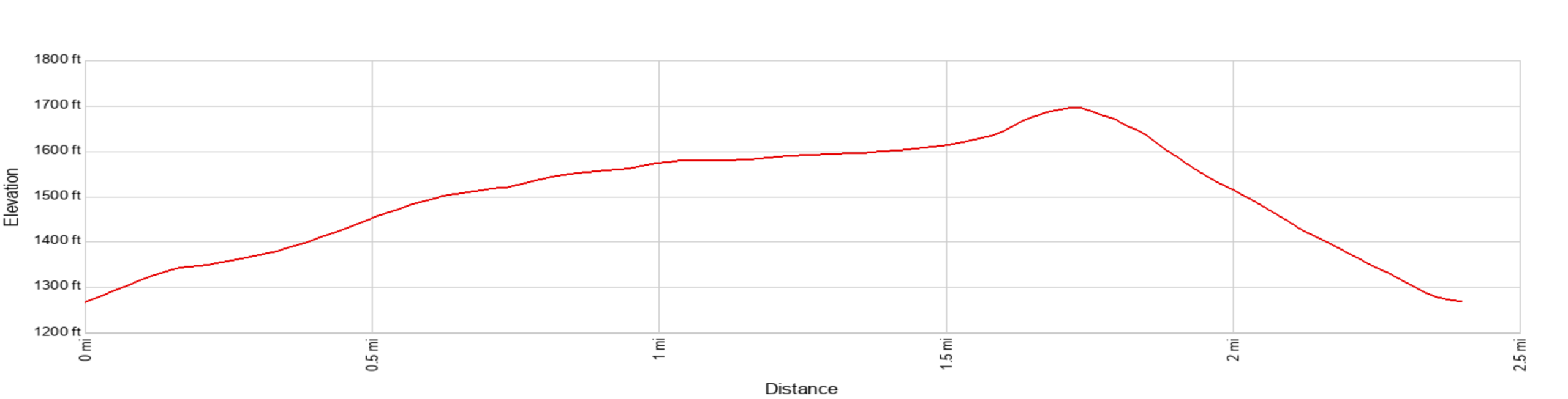
Ascent / Descent - About 430 ft / 130 meters
Facilities
The nearest public toilets (accessible) are a 15 minutes drive away at the National Trust car park at Horner (TA24 8HY) or Wheddon Cross. At Horner there are tea rooms (seasonal) and the nearest pub is the ‘Rest and Be Thankful’ at Wheddon Cross.
Terrain and surface
This walk is a longer and more challenging alternative to the Exmoor Strolls route to Dunkery Beacon, but benefits from being circular and not having to retrace your steps. This walk follows a dirt and stone track, with some rough and uneven sections, that gently but steadily climbs (max 1:6, but mostly 1:20 – 1:10) to the summit. From the summit the descent is more direct, and thus steeper (max 1:4), along a narrower path with regular stone drainage cut-offs.
View a more detailed ‘walk-through’ video showing the path surface and terrain along the entire route.
Exmoor Explorers
This is one of our top ten shorter Exmoor walks. We have chosen our favourite walks to help you get a real feel for the wonderful landscape, history and wildlife of Exmoor National Park